Subsea Surveying and Mapping
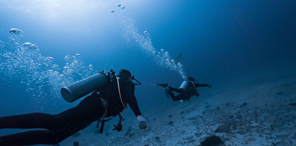
Subsea surveying and mapping services involve the use of sonar, multibeam echo sounders, and other remote sensing technologies to map the seafloor, identify geological features, and locate underwater assets such as pipelines, cables, and structures. These surveys provide valuable data for project planning, asset management, and environmental monitoring.